Find over 500 miles of trails and greenways for your holiday hikes!

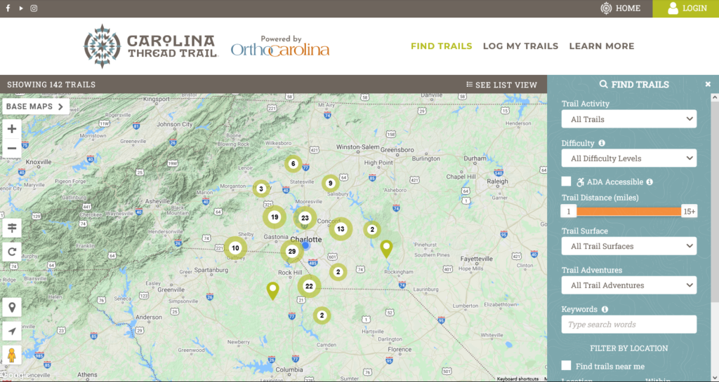
Charlotte, N.C. – Just in time for the winter holidays and a warm weekend forecast, the Carolina Thread Trail launched a redesign of its interactive online trail map, with support from OrthoCarolina. The map allows users to find information about nearly 500 miles of publicly accessible trails, greenways and blueways (river trails for paddling) within the Thread Trail network.

As we approach the holidays, many Carolinians are looking for ways to spend time outdoors with friends and loved ones. Whether looking for places to hike, bike paddle or simply enjoy nature, the website’s facelift provides information about recreation opportunities across 15 counties in the Greater Charlotte region. Residents of the Carolinas and holiday visitors to the Charlotte region are able to find an outdoor adventure on any of the Thread Trail’s blueways or land trails by searching for a location or filtering by type of activity, difficulty or ADA accessibility. Increased mobile functionality on the site allows users to find their next outdoor adventure while on the go.
“Living a healthy, active lifestyle starts with having access to safe outdoor spaces in your own neighborhood,” said Blair Primis, OrthoCarolina Senior Vice President, Marketing & Talent Management. “Carolina Thread Trail’s new, improved trail map website moves our community forward by leaps and bounds to take advantage of the amazing network of greenways across the Carolinas. We couldn’t be prouder to support this work.”
Users who create a profile on the website can also track the trails and blueways they complete and earn digital badges when they hit milestones. Badges include designations like the Trail Trekker for completing 5 or more walks, hikes or runs on the Thread Trail and the River Roamer for completing your first paddle on a blueway.
The redesigned site will further increase access to the region’s natural places and connect Carolinians to nature. All trails and blueways in the Thread Trail network are free and open to the public. As new trails within the Thread Trail network open, they will be added to the site.
The trail map can be found at carolinathreadtrailmap.org.
###
