Weathering Extreme Storms

by Sam Kirk, Stewardship Associate
Overall, Catawba Lands Conservancy and Carolina Thread Trail emerged post-Florence and Michael with only minor injuries. Wind damage was less than anticipated, bringing down numerous branches and small debris, but only a handful of medium-sized trees. Erosion problems that existed on some trails before the storm, such as Seven Oaks Preserve Trail and Girl Scout’s Hornets Nest Trail, were exacerbated, but are not permanently damaging. River levels prompted staff to close river access points including Spencer Mountain River Access, South Fork Rail Trail, and South Fork Trail in McAdenville, but those sites were reopened within 48 hours of the storms departure and suffered no damage.

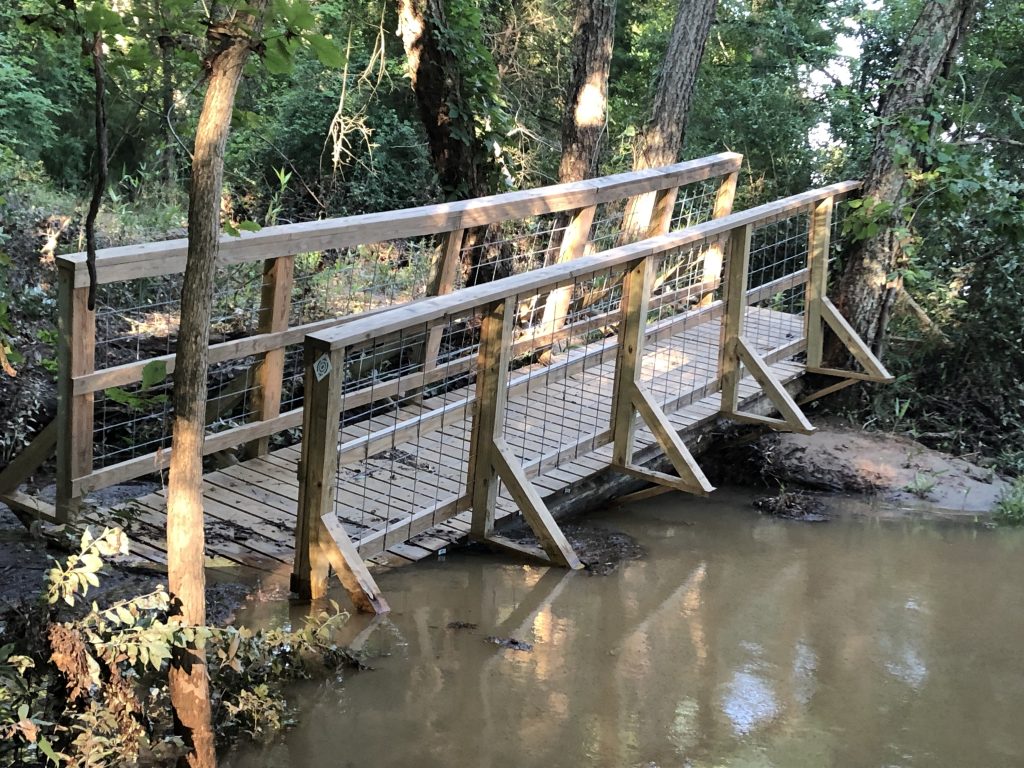
Buffalo Creek Preserve experienced significant flooding along Adam’s Creek, which submerged the suspension bridge that crosses it at a height of approximately 15 feet. Staff closed the bridge, pending an inspection by the builder, Alpine Towers. The bridge did not pass inspection; however, the repairs needed were minimal and the bridge has been reopened.
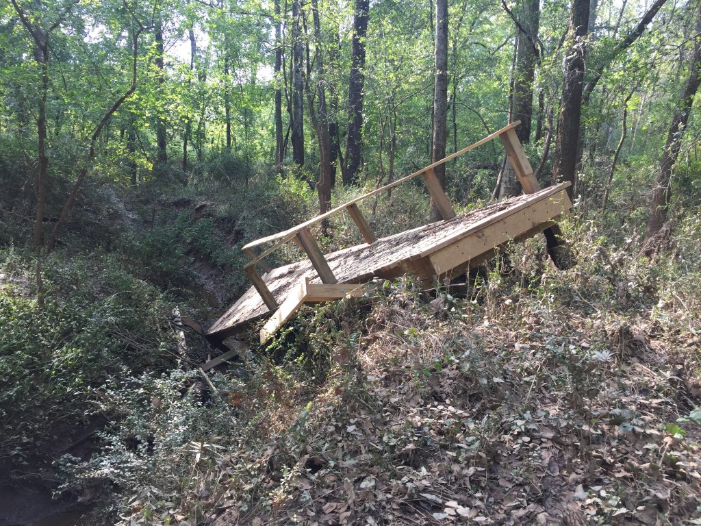
The biggest casualty was the Pharr Family Trail, located in Cabarrus County along the Rocky River. Notorious for flooding, the Rocky aggressively overflowed its banks, seriously damaging the kayak launch and completely removing a newly built bridge across a tributary and depositing it 20 yards downstream while shattering its foundation. This trail is currently closed and will remain closed until a new bridge and kayak launch can be constructed.
For each of the trails affected by the storm, there is a theme: they all exist, at least for a portion, within a conserved floodplain.
This is not a coincidence; a majority of the Conservancy’s work is done within the floodplain and riparian corridors on our region’s major rivers and tributaries. Funded mainly by the Clean Water Management Trust Fund, the goal of these conservation projects is to protect the quality of our regions water – especially our drinking water – and preserve the land that helps manage floodwater.
The importance of floodplains and riparian areas has recently gained more attention as heavy rain events have become more common. These ecosystems are often described as “natural sponges” and “nature’s kidneys” for their ability to absorb and clean excess water and buffer residential areas from flooding. Perhaps an even better analogy for our region would be to look at these areas as natural storage tanks.
 Floodplains are areas of low-lying ground near rivers that provide a depository for the excess water from upstream or local rain events. These areas are capable of holding a large amount of water and releasing it slowly back into the river and groundwater systems. In areas where the natural ecosystem has been kept intact, trees and vegetation hold the soils and prevent erosion into rivers. These flat, wooded areas slow the water before it reaches the stream or river to allow nutrients and other waste to settle instead of remaining suspended in a swift current. The excess nutrients and other waste items can then be broken down through a number of physical and chemical processes in the soil. Meanwhile, trees and plants absorb as much water as possible (large trees can absorb up to 100 gallons of water a day) and release it back into the atmosphere. Even the leafy tree canopies themselves capture a large amount of water that then drips slowly to the ground or evaporates. Flooding happens, and riparian ecosystems have evolved to handle it.
Unfortunately, much of our floodplains were developed before the benefits of those ecosystems were realized. Recent natural events have highlighted the need for these buffers not only for our local communities, but also our neighbors downstream. Naturally functioning floodplains are money and lifesavers, but only when they remain undeveloped. One of the Conservancy’s top priorities is working with landowners throughout our footprint to conserve the health of these vital ecosystems
